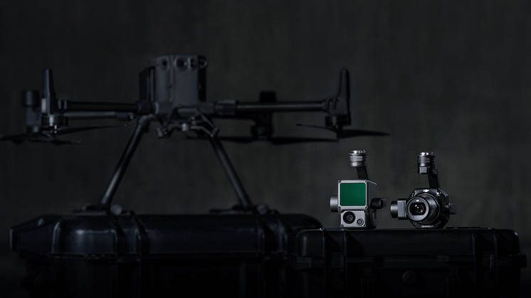
DJI Unveils First Integrated Lidar Drone Solution And A Powerful Full-Frame Camera Payload For Aerial Surveying
DJI, the world leader in civilian drones and aerial imaging technology unveiled at INTERGEO two new payload solutions for the most demanding aerial surveying missions. The DJI Zenmuse P1 and DJI Zenmuse L1 are set to be game-changers for the industry, bringing more efficiency and new perspectives with greater accuracy for precise aerial inspections.